SIM and the Ice Bridge: Bringing Science to the North
Posted:
Why did SIM drive across the frozen river? To get to the other side!
Our incredible Science in Motion (SIM) team delivers outreach programming to schools that are located 100 kilometers or further from Edmonton, travelling across Alberta throughout the school year. In doing so, SIM is faced every year with mastering driving in winter weather to reach the many rural and remote communities across Alberta.
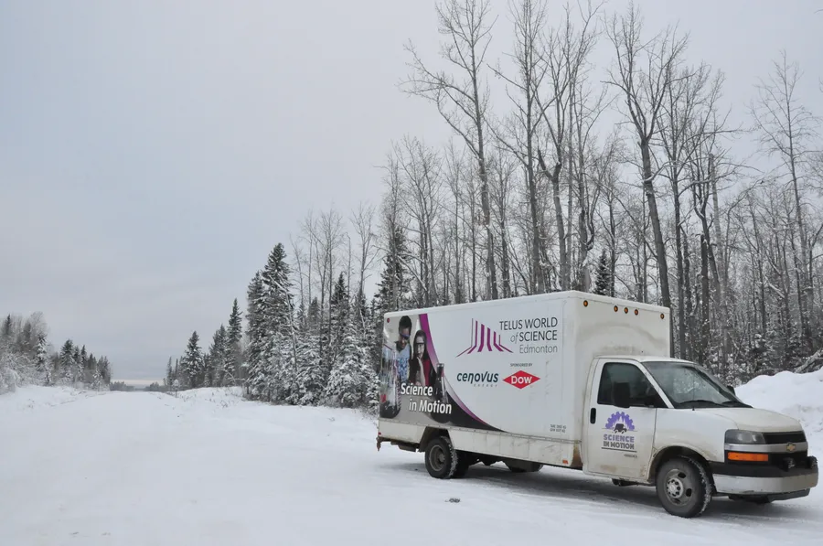
SIM van before crossing the ice bridge
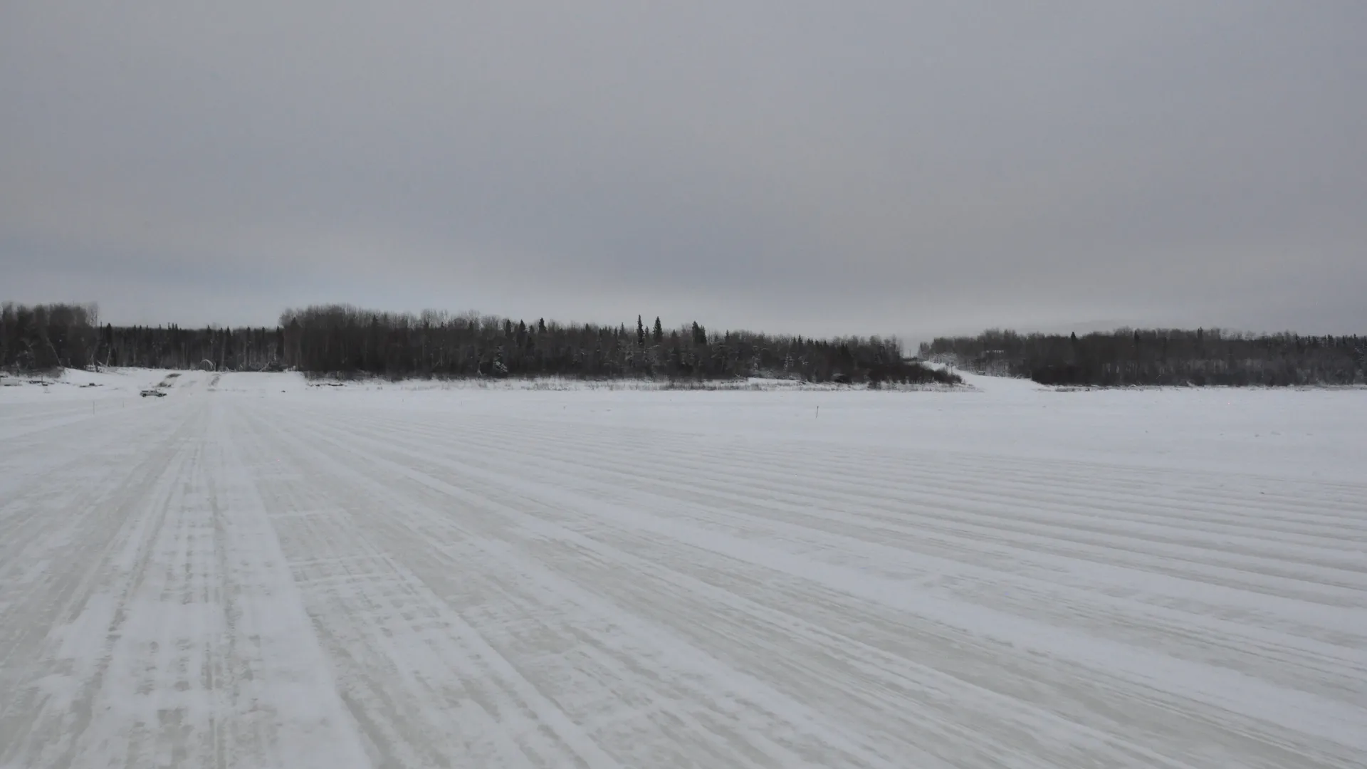
Though winter driving is often a challenge, there is one SIM journey that’s unlike all the rest. To reach one of SIM’s furthest destinations – the northern community of Fox Lake – the team must cross an ice bridge. The ice bridge is not a literal ‘bridge’, rather a winter road that is engineered to support vehicles traversing a frozen motorway – in this case, the Peace River.
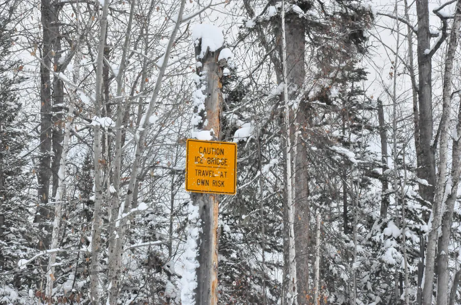
Warning sign before crossing the ice bridge
Connecting with Fox Lake
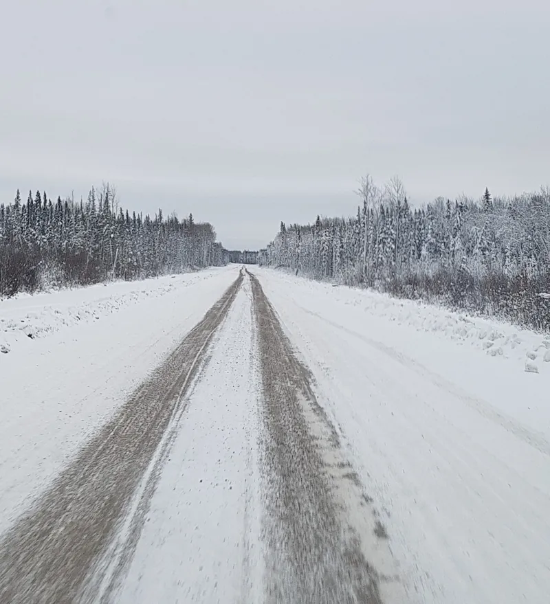
Highway 58 leading up to the ice bridge
Fox Lake is located over 750 kilometers from Edmonton and is surrounded by huge tracts of boreal forest that extend through the neighbouring Wood Buffalo National Park. In the winter, this beautiful band of green is transformed into an equally striking band of snow and ice-covered trees, frozen over until the rebirth of spring.
The bitter cold brings with it a sense of freedom for those living in Fox Lake. For a few months each year, when the ice is thick enough, community members cross the Peace River as frequently as needed, and large trucks and tractor-trailers bring in valuable supplies, including fuel and lumber.
The ice bridge is also one of the most convenient ways for SIM to bring hands-on curriculum-linked programs to the community’s two schools: Fox Lake Elementary School and Jean Baptiste Sewepagaham Junior/Senior High School. And, in much the same way, many of the schools’ field trips are organized in the winter months, when school buses can cross the Peace River without difficulty.
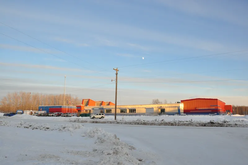
Jean Baptiste Sewepagaham Jr/Sr High School
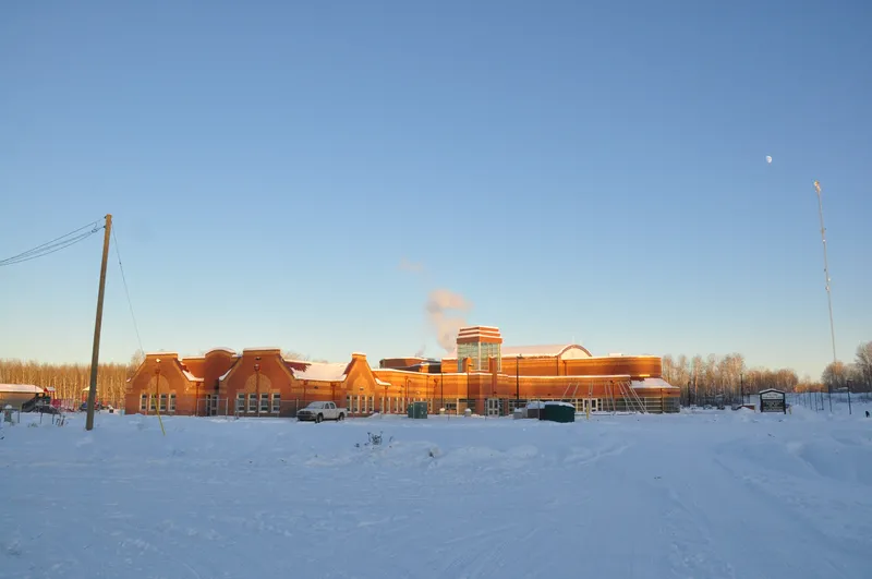
Fox Lake Elementary School
But, outside of the winter’s frigid weather and when the Peace River is flowing steadily, the only way into Fox Lake is by barge or by air; two means, which are unfortunately, too taxing and expensive for SIM.
A Feat of Engineering
The ability to transport people and goods across engineered winter roads has played a pivotal role in the exploration of Canada’s North, as well as in connecting and servicing the North’s distant communities and industries. While there are many ways to construct winter roads that can support the transport of hundreds – if not thousands – of tonnes of cargo and even the landing of aircrafts, the same fundamental principles apply.
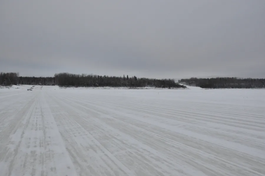
Ice bridge to Fox Lake
The initial stages include establishing the requirements for winter road construction, namely:
- Mapping a proposed route across a lake, river or permafrost;
- Consulting with local land owners;
- Applying for land use permits;
- Consulting with local government for environmental permissions; and
- Collecting and analyzing historical data on freezing indices and snow fall records.
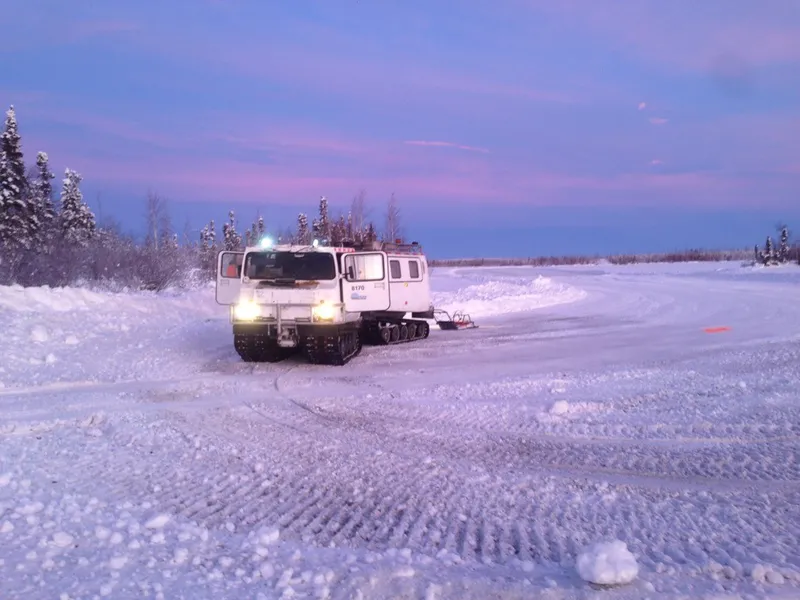
Using GPR to measure the thickness of an ice bridge (photo credit: Ben Strokappe)
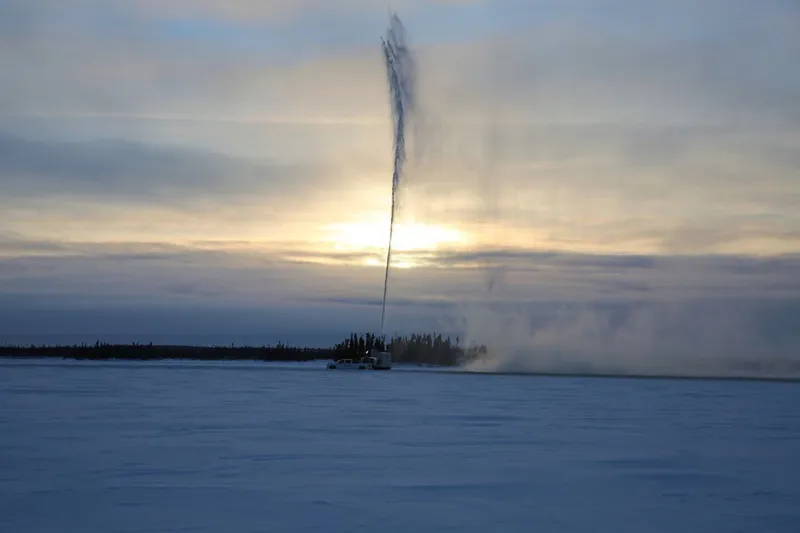
Flooding an ice bridge (photo credit: Ben Strokappe)
Once these requirements are met, and the ice is measured using ground-penetrating radar (GPR), construction can begin. The GPR is a non-destructive, geophysical method that uses radar pulses to reflect signals from subsurface structures. It is commonly used to determine whether ice is thick enough to support the weight of equipment required to construct a winter road.
Typically, the centre line of the road is cleared first, followed by the full width of the road. Then, the portage, or section of road located on land, is built out of snow and ice.
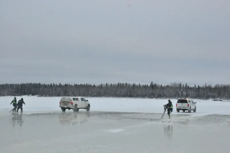
Crews maintaining the Fox Lake ice bridge
Once the road is in use, road crews ensure its safety through routine maintenance work that includes managing vehicle traffic, clearing snow, reconditioning the portages, monitoring ice thickness, and flooding the road. For ice flooding operations, bore holes are pre-drilled and water from under the ice is pulled up using either flood pumps, augers, or spray units. This water is then sprayed across the surface, freezing quickly, and creating an additional layer of ice. The thicker the ice becomes, the more weight (and the more goods) that can be transported across the road.
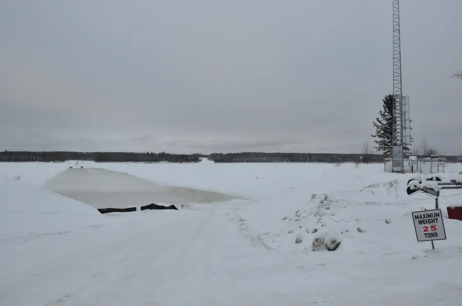
Weight limit at the Fox Lake ice bridge
Eventually, when the weather begins to warm in the spring, road crews shift their attention to closing the thoroughfare. This involves disposing of traffic residue, placing sand or gravel on portages to avoid soil erosion or leaching into waterways, and conducting environmental assessments to ensure that no negative impacts were had on the environment from travel on the road.
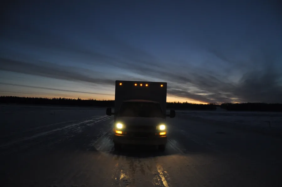
SIM van crossing the ice bridge to Fox Lake
Related Articles


Food Chain Reactions
How Climate Change is Impacting Canada's Lakes

It Is Ice to See You
How Seasonal Connections Are Affected by Climate Change

Getting to the Core of Climate Change
A Look at How Refrigerants Are Affecting Our Environment through Ice Cores
Related Articles


Food Chain Reactions
How Climate Change is Impacting Canada's Lakes


It Is Ice to See You
How Seasonal Connections Are Affected by Climate Change


Getting to the Core of Climate Change
A Look at How Refrigerants Are Affecting Our Environment through Ice Cores


